
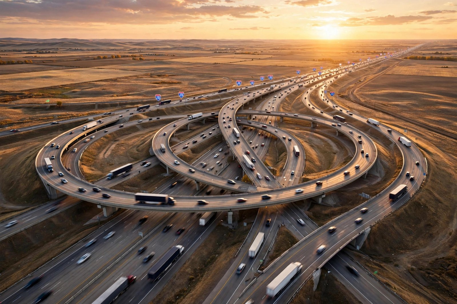
You have driven on it your whole life, probably today. The Interstate Highway System — officially the Dwight D. Eisenhower National System of Interstate and Defense Highways — runs about 46,900 miles through every state except Alaska’s road network, carries roughly a quarter of all vehicle travel in America on barely more than one percent of the nation’s road mileage, and follows a numbering code so logical that once you learn it, you can navigate the continent with it. It also carries one of the most persistent myths in American life. Let’s separate the surprising facts from the famous fiction.
The myth: one mile in five is NOT a runway
Start with the claim everyone “knows”: the Interstate System was designed so that one mile in every five is perfectly straight, so military aircraft can use the highways as emergency landing strips in wartime. It sounds plausible, it flatters the system’s defense origins, and it is completely false. The Federal Highway Administration addresses it directly on its official Interstate myths page: the claim “is widespread on the Internet and in reference sources, but has no basis in law, regulation, design manual — or fact.” Airplanes do occasionally land on Interstates in genuine emergencies, the FHWA notes — but because a straight, wide road is the best option available to a pilot in trouble, not because anyone designed it as a runway.
So where did the myth come from? FHWA historian Richard Weingroff has traced its likely roots to a misreading of real history: the Defense Highway Act of 1941 created a “flight strip” program that built small emergency airstrips next to highways, complete with a shelter, a telephone, and fuel arranged through nearby gas stations. Flight strips beside roads somehow mutated, over decades of retelling, into the roads themselves being runways on a one-in-five schedule. Neither the 1944 nor the 1956 highway acts contain any such requirement. The real system is impressive enough without the legend: it was built for moving troops, freight, and evacuated cities by road — and the defense in its name refers to exactly that.
The 1919 convoy: 62 days to cross America
The system’s origin story is a road trip so bad it changed history. In the summer of 1919, the U.S. Army set out to test whether it could move a motorized force across the continent. The Motor Transport Corps Convoy — roughly 80 vehicles and nearly 300 soldiers and observers — left Washington, D.C. on July 7, 1919, following the Lincoln Highway west. Among the officers along for the ride, partly as an observer, was a 28-year-old lieutenant colonel named Dwight D. Eisenhower.
It was a rolling disaster, and the Army documented all of it. The convoy covered about 3,251 miles in 62 days — an average of roughly 58 miles a day at about 6 miles per hour. West of the Midwest, the “highway” was often dirt, gravel, sand, or nothing much at all. Trucks sank in quicksand and mud; bridges broke under military loads and had to be rebuilt or reinforced to get the column across — nearly 90 bridges and culverts were damaged along the way; the expedition logged some 230 road incidents and accidents and left nine vehicles behind, retired from service. The National Museum of the United States Army’s account of the convoy underlines the verdict the trip was designed to reach: the nation’s cross-country roads were in extremely poor condition, and in a real emergency, America could not move.
Eisenhower never forgot it. A quarter-century later, commanding Allied forces in World War II, he saw the opposite: Germany’s Autobahn, a modern high-speed network that moved troops and equipment with an efficiency American roads could not match. As he later wrote in his memoir At Ease — quoted in the National Archives’ history of the Interstate System — “The old convoy had started me thinking about good, two-lane highways, but Germany had made me see the wisdom of broader ribbons across the land.” In 1953 he became president with both memories in hand. On June 29, 1956, he signed the Federal-Aid Highway Act, committing $25 billion in federal money — covering 90 percent of construction costs, with states paying the rest — to build 41,000 miles of controlled-access highway. It remains one of the largest public works projects in history.
The numbering code: a map hidden in the signs
Here is the genuinely elegant part. Interstate numbers are not assigned at random; they form a grid you can read at 70 miles per hour.
Odd numbers run north–south; even numbers run east–west. That is rule one, and it never changes. Numbers grow as you move: north–south routes are numbered from low in the west to high in the east, so I-5 runs up the West Coast while I-95 runs up the East Coast. East–west routes are numbered from low in the south to high in the north, so I-10 crosses the Sun Belt from Los Angeles to Jacksonville while I-90 crosses the northern tier from Seattle to Boston — at about 3,085 miles, the longest Interstate in the system.
The biggest routes end in 0 or 5. Coast-to-coast and border-to-border trunk lines were given numbers ending in 0 (east–west: I-10, I-40, I-80, I-90) or 5 (north–south: I-5, I-15, I-35, I-75, I-95). If you are on a number ending in 0 or 5, you are on one of the system’s main arteries, and it will take you a very long way.
Three-digit Interstates are the children of two-digit parents. The last two digits name the parent route: I-90’s urban offspring include I-190, I-290, I-490, I-590, and I-890 in different cities (three-digit numbers repeat from state to state, which is why several cities can each have an I-290). The first digit tells you the shape: an even first digit means a loop or beltway that connects back to its parent at both ends, circling a city; an odd first digit means a spur that branches off and does not return. Learn those four rules and a road atlas becomes a logic puzzle you already know how to solve.
One more subtlety rewards the attentive: the Interstate grid was deliberately mirrored against the older U.S. Highway system, so that no Interstate would share a number with a U.S. route in the same area and confuse drivers — which is why Interstate numbers climb from the south and west while U.S. Highway numbers climb from the north and east. There are famous exceptions to the tidy rules, too. California’s I-238 connects to no I-38, because the logical numbers were already taken; it exists because the grid met reality and reality won, as it does.
More facts worth knowing at the next rest stop
Almost every state capital is on the system — but not all. Five capitals are not directly served by an Interstate: Juneau, Alaska; Dover, Delaware; Jefferson City, Missouri; Carson City, Nevada; and Pierre, South Dakota. Pierre’s isolation makes it one of the most remote state capitals in the continental United States by highway access.
The standards were the revolution. What made an Interstate an Interstate was uniformity: fully controlled access (no driveways, no stoplights, entry only at interchanges — the original 42,000-mile system had only about 16,000 of them), lanes 12 feet wide, wide shoulders, generous bridge clearances, and design speeds around 70 mph. A driver could cross the country without ever stopping for a crossroad. In 1919 that trip took 62 days; on the finished system, the same crossing became a four-day drive.
The name came late. The system Eisenhower signed into law in 1956 was formally renamed the Dwight D. Eisenhower System of Interstate and Defense Highways in 1990 — a fitting bookend for a project sparked by a young officer’s miserable, muddy, bridge-breaking summer thirty-seven years before he signed it.
It is not quite finished, and it never really stops changing. The network has grown from the original 41,000-mile authorization to roughly 46,900 miles, states own and maintain their segments, and new designations still appear as corridors are completed. Every mile of it is a state road built to a federal idea — which is why the shield looks the same in Maine and in Arizona.
The system reaches beyond the mainland. Despite the name, Interstate-standard highways also exist outside the continental grid: Hawaii has its own signed Interstate routes — H-1, H-2, and H-3 on Oahu — while Alaska and Puerto Rico have federally funded Interstate-program corridors that simply are not signed with the familiar red-white-and-blue shield. The idea Eisenhower signed in 1956 proved flexible enough to cover island highways an ocean away from the Lincoln Highway route that inspired it.
The road that explains America
The Interstate System moved freight, built suburbs, created the road trip, and rewired where Americans live, work, and eat — effects far beyond what the 1956 Congress debated. But its cleanest story is still the personal one. A 28-year-old officer bounced across the continent at six miles an hour in 1919, filed away the humiliation of American roads, watched an enemy’s highways outperform them in a world war, and then, given the power, spent $25 billion making sure it never happened again. The one-mile-in-five runway story is a myth. The 62-day convoy is a fact — and it is the better story anyway.